Monday, June 27, 2016

A Tale of Two Forts


Day 9

June 23 2016                         Fort St. John, BC            Beatton Provincial Park, site 21
340 miles (547 km)                                                                            10.4 mpg  (4.42 km/l)


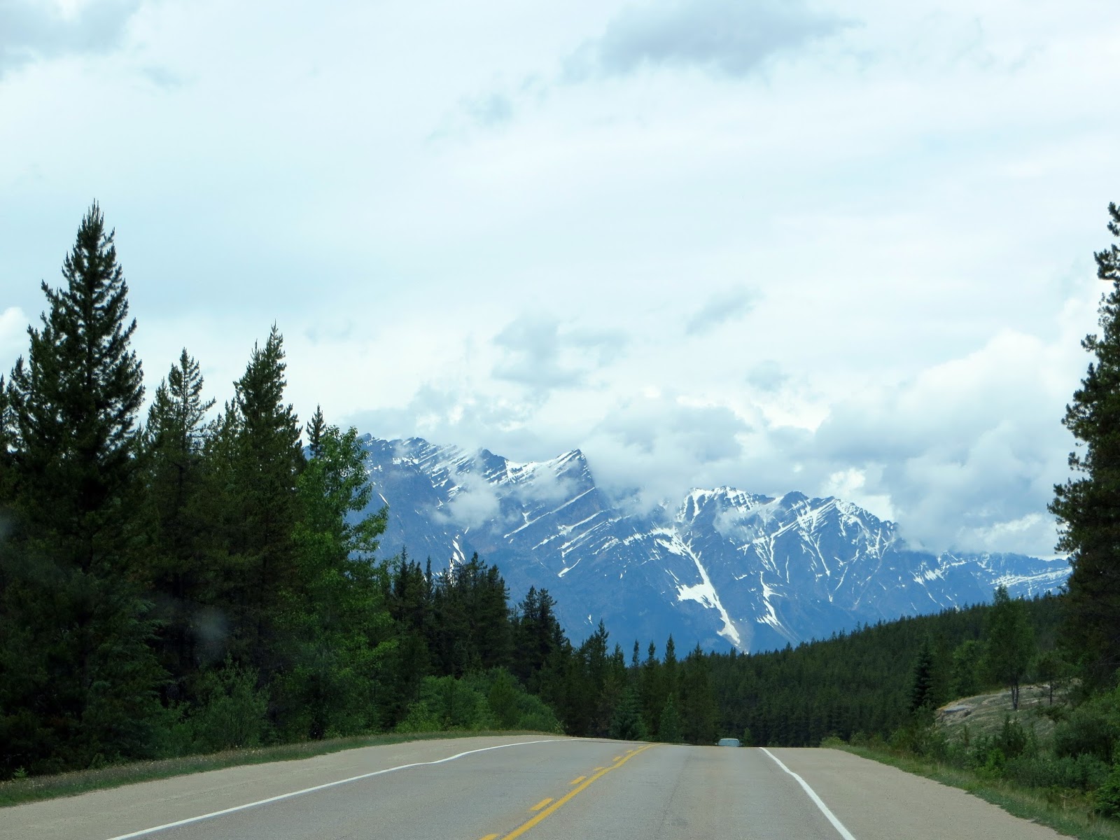
Our destination for the day was Saskatoon Lake Provincial Park, just west of Grand Prairie, BC.  We left the KOA at 07:00 and turned left at the sign that said “The Most Scenic Route to Alaska” and turning north onto AB-40. 


It was very scenic, passing through very thick pine forests, mountains, and rolling foothills.  Between Hinton and Grand Prairie, we passed through just one town, Grand Cache.  Nothing in between.  There are signs telling us no services over the next 200 km, etc.  So we never let the gas tank get below ½ anymore.   (not true, see next post below)

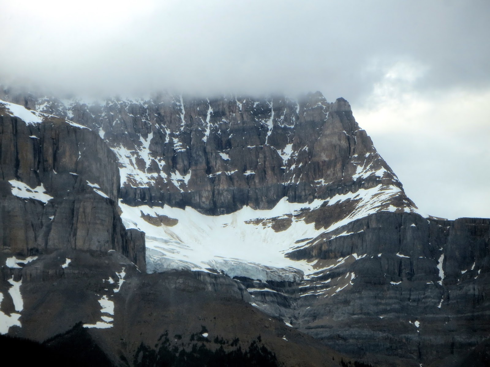
It was a littly cloudy and mist for the first few hours towards Grand Prairie.


 A little cloudy starting out

But it got better

There were numerous caribou warning signs along the way, but we didn’t see any (caribou, not the signs).


There were lots of logging trucks.  We followed one for miles.  They slow down almost to a crawl going uphill and there are no passing lanes.  And the road is curvy so passing wasn’t an option.  So it was about an hour of this go slow up hill and fast downhill until there was a long enough straightaway to pass.  I need a lot of room to pass a big truck while towing a trailer.  There is almost no traffic, so we would get only a few cars behind us, but they were quick to get around us.  In spite of all this, it was a gorgeous ride to Grand Prairie.


Try not to get stuck behind one of these.

By the time we got to Grand Prairie, the land was much flatter and the trees turned to Aspen and shrubs.  Grand Prairie is an industrial town and supports logging, and oil and gas.  Lots of construction equipment like dump trucks, excavators, bull dozers, and the flatbed trucks that haul them.  We see a lot of roads being built in the middle of nowhere for access to logging or oil.

We got to Grand Prairie fairly early and thought it was too early to stop so we continued on to Dawson Creek, which is in British Columbia.  We also crossed into Pacific Daylight Time, three hours behind eastern time.

Leaving Grand Prairie we got behind a convoy hauling a house down the highway.  It took up the whole road except the left shoulder, where on-coming cars could pass.  It was about ½ hour before they could get over and let the long line of cars pass.


Dawson Creek is the official start of the Alaskan Highway.  There is a visitor center (spelled centre in Canada) there with a big sign for tourist to take a picture.  It’s referred to as mile zero. 


We met people there from all over the U.S.  Most people we meet, like at gas stations or visitor centers are all Americans going to Alaska.

Dawson Creek was much larger than I expected.  We stopped at a Walmart there for some groceries.  In the north, we are realizing that there is much less choices in groceries than back home.  We needed lunch meat for sandwiches, but had to get prewrapped sliced meats instead of getting it at the deli counter.  They didn’t have a deli counter.  Produce selection is even worse.  The same with meats.

Was glad to get back on the highway.  Outside of Dawson Creek there is an old section of the original highway that passes over a curved wooden bridge.  We took that bypass to see it.


We passed through the town of Fort St. John and ended up at Beatton Provincial Park a little west of town.  Got there at 3:00 in the afternoon after 9 hours on the road.  Surprisingly, it was full of large fifth wheels, almost all from British Columbia.  The campground was on the north end of a large lake named Charlie Lake and was about 10 miles off the highway.  It was OK for the night, but I wouldn’t stay again. 


One good thing there was we saw the first bald eagle of the trip and its juvenile, still living at home, The  juveniles are mottled instead of black and white.  Didn’t get a picture of the mommy.


Day 10  

Saturday June 24, 2016     Fort Nelson, BC          Tetsa River Regional Park, site 14
305 miles (491 km)                                                                            9.6 mpg (4.08 km/l)

Beatton Provincial Park was not one of the better campgrounds we stayed at so far.  Left at 07:20 and drove west on the Alaskan Highway towards Fort Nelson, BC.  Wasn’t sure where we were going to end up for the night.  Started out with ¾ tank of gas and had 300 miles to go without any real towns on the way.  But there are lodges and RV resorts that sell gas at high prices if you need some.  There are no real gas stations until Fort Nelson.  When I got down to ¼ tank I was getting nervous and stopped at some little grocery store, motel, RV campground, gas pump kind of place and filled up with $1.69/litre gas.  With currency and unit conversion that translates to $4.80/gallon in US money.  Cost me over $90 US to fill ¾ of a tank (20 gallons).

We stopped at the visitor center in Fort Nelson and used their free wifi.  Posted post 3, and 4.  But by the time you get this, you already know that.  Was there for two hours. 

Moved on to the next campground just west of Fort Nelson.  It was called the Testa River Regional Park and was owned by the town of Fort Nelson.  It had once been a BC Provincial Park and still had the same character.  Really liked it a lot and was the best campground we’ve stayed at in Canada so far.  The Testa River is a long river and we followed it for miles the next day.  It was very muddy from rain runoff, but is a very good trout river for Dolly Varden (the fish, not a person).  Was too muddy to fish. 


Tetsa River Campgound

Right after we arrived at 15:00, it was threatening rain and thunder, like most of the campgrounds we arrive at.  It finally did rain and we sat out under the awning.  It dispersed quickly and we were able to cook out and have a campfire with the free firewood at the campground.

The very friendly campground hosts walked over and chatted with us for a while and asked us to sign their guest book.

Overall, another very nice day in Canada.

Friday, June 24, 2016

Banff and Jasper National Parks


Day 7    Tuesday June 21, 2016  Banff National Park, Tunnel Mt. Trailer Campground, site 731

324 miles  (521 km)       10.2 mpg  (4.34 km/l)

Left Two Medicine camp site at 06:30 and went to the dump station before leaving the at 06:50.  Stopped in Browning for gas, ice, and beer, but they couldn’t sell beer before 08:00.  It wasn’t for breakfast.  I just wanted to have some on hand so I wouldn’t have to figure out how to buy beer in Alberta.  Got some in Many Glacier on the way north.

Hit the Canadian border at 09:00.  Very simple compared to crossing in any of the Michigan entry points.  One guy in a booth and there were no lines.  Always asked the same questions:  have any guns, pepper spray, firewood, or alcohol.  Had no guns, no wood (remember I left it behind), had a six-pack (no problem), and no pepper spray (told him I had bear spray, and he said no problem).  Asked me how long I was going to take to get to Alaska and answered about 10 days to pass through.  He then waved gave me back our passports and wished us a good trip.


After crossing the border, the weather got pretty gloomy.


The GPS wanted to take me north on a freeway to Calgary and then west on the Trans-Canada to Banff.  We elected to take back roads and eventually connected to the Trans-Canada highway east of Banff.  It was a good choice.  Excellent roads and scenery all the way to Banff.

Drove through downtown Banff on the way to the campground, which was just outside the town.


 The campground was a place to stay for the night, that’s about it.  Sites were very close, with no privacy at all.  They even had us on a double site.  It’s like a pull through, but only one guy gets to pull through, the other camper backs in.  That was us.  Our door faced the wrong way.  We shared a common electric pole but had separate water and sewer hookups.  Full hookups in a national park is unusual.  At least in the US.  But some of the views of the surrounding mountains were good.


Our neighbors were a very nice couple from Manitoba.  The first thing they said to us was that they were dying to ask an American about Donald Trump.  Canadians follow the election like it was for them.  The TV news has the same news about Clinton and Trump as the US does.

Would not stay at this campground again.


Day 8    June 22, 2019                                                 Hinten, Alberta, Hinten-Jasper KOA, site 48

234 miles  (376 km)                                                     12.4 mpg   (5.27 km/l)


The Canadian Rockies are the most breathtakingly beautiful scenery we’ve ever seen.  Miles and miles of high peaks, rock formations, ice fields, glaciers, rivers, lakes, and on and on.  The Icefields Parkway between Lake Louise and Jasper should be on everyone’s list to do before they die.

Here’s why:


These pictures were taken on a gloomy, drizzly day.  And they are still awesome.

Saw a bear:


Saw caribou crossing signs, but no caribou.


There are these animal crossings they built so animals can cross the Trans-Canadian highway through here without crossing in the road.


Glacier National Park


Day 5    Sunday June 19, 2016                  Glacier National Park, Two Medicine Campground, site 98

1st day

We have been to this campground twice over the last two years and this is our third time in three years.  On the way in to the campground we pass a trailhead to Running Eagle Falls and every time we come we say we’ll go check that out and then we leave after a few days without doing that.  So this time it was the first thing we did.  It is a ¼ mile trail along the Two Medicine River to a beautiful waterfall.   You see lots of waterfalls in national parks, especially in the mountains, but this was super excellent.  It took three years, but we finally went to see it.


On the way to the trailhead, we saw this mountain sheep by the side of the road over near the dump station when leaving the campground.


On the way back to the campground we barely caught a photo of a black bear walking into the woods.


Back at the campsite, downloaded the last 5 days of photos into my computer.  This place is so awesome that I must have taken 20 pictures just walking to the fee pipe to insert our camping fee.  Everywhere you look is a picture, and it varies with time of day, sunlight, clouds, precipitation, etc. 

Took a hike with Marsha on a trail that follows the north side of Two Medicine Lake.  A photo around every turn.  Every wildflower, dead trees silhouettes, lake views, and the mountains, and all of the above together.  Marsha likes taking pictures of the colorful flowers.  I can't name the species for you.


This guy was waiting for us at the bridge over the river when we got back:

These ground squirrels are everywhere.

Other neat stuff we saw on the trail:


Met up with two guys in their early 20’s who were hiking the CDT (Continental Divide Trail).  It follows the continental divide from Canada to Mexico, through the Rockies. They started at the Canadian border 10 days ago.  They plan to hike all the way to Mexico by the end of summer.  They also aspire to do the Pacific Crest Trail and the Appalachian Trail within the next few years.  These trails are also 2000+ mile trails. 


Day 6    Monday June 20,2016                  Glacier National Park, Two Medicine Campground, site 98

2nd day

Today was our last day before entering Canada and I had three bundles of firewood to get rid of before we left tomorrow morning.  Can’t take firewood across the border.  We also tried hard to use up any fresh fruits or vegetables.  Sometimes they ask about fruits and veggies and we wanted no hassel.

Made the 1st campfire of the trip this morning to enjoy our morning coffee. 


Then to keep with our Two Medicine tradition, we went to East Glacier Lodge for their breakfast buffet.  We did the same on our last two trips.  It is a nice big oil rustic looking mountain lodge and overlooks the mountains from the dining room.

Then we did laundry.  We brought plenty of clothes, but thought we’d get caught up before going into the boondocks of Canada.  We also went to do laundry because we get a signal there and can get our blogs caught up and posted.  So if I go a long time between posts, it’s because data coverage is hard to come by and will probably be worse in Canada.

Back at camp, sat out in the nice weather under the awning for a while swatting non-stinging bees and flies.  Marsha has “The Exterminator” which looks like a tennis racket, strung with wires that are electrically charged.  When you swing at a bug, it crackles like a bug zapper.

I took a 3 mile round trip walk along the lake, almost to the other end.  Here’s some photos:


 Bear grass was very common in this area


When I got back, cleaned and stacked all the remaining firewood from the truck that I was stockpiling.  Burned another bundle, but ended up leaving one behind.  Didn’t want to drop it off at the border.  They always ask if you have firewood.  I’d rather leave it for someone who could use it.  It was a bundle left over from the Smokies trip in April.

Reconnected the trailer to get ready for an early morning escape to Banff National Park in Alberta, Canada.  Took this picture of the trailer early the next morning before we left.  That’s my trailer on the right.  The Flagstaff trailer on the left is in the site we had last year.


 Note:
This blog is being sent from the Visitor Center in Fort Nelson, British Columbia on June 24th.  Internet is very hard to come by.  Thet have WiFi here.  It is a hundred miles between towns and there is no cell data coverage anywhere.  Once in a while in the big towns, might get a phone signal.  So it may be a few days between posts.